

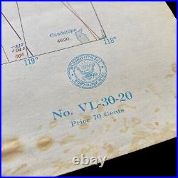
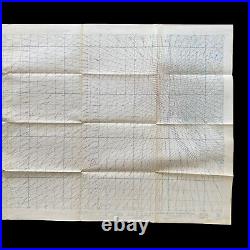


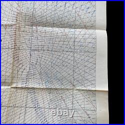


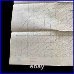
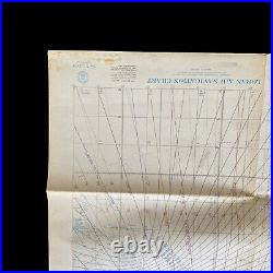
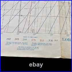
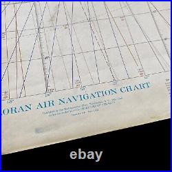
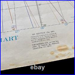
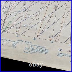
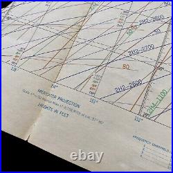
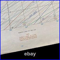

This rare, original, and large 1950’s LORAN air navigation chart was produced by the department of the U. This original chart was produce shortly after World War II and will make an amazing addition to any collection. LORAN (Long Range Navigation) was a radio navigation system developed during World War II by the United States Navy. The system was first used operationally in 1942 and was widely adopted by the military during the war. The LORAN system was based on the principle of time-of-flight measurement. The system operated by broadcasting a series of low-frequency radio signals from a ground station. In the 1950s, LORAN was an important part of the navigation systems used by the United States Navy. The system provided the Navy with a reliable and accurate means of navigation over long distances, allowing the Navy to operate more effectively and safely. One of the key advantages of the LORAN system was its ability to provide accurate navigation over long distances, even in adverse weather conditions. This was particularly important for the Navy, which often operated in remote areas and harsh environments. The system was also relatively immune to interference from other radio sources, making it more reliable than other navigation systems of the time. Another advantage of the LORAN system was its ease of use. The system was relatively simple to operate and required minimal training for operators. The system provided these companies with a reliable means of navigation over long distances, allowing them to operate more efficiently and safely. The adoption of LORAN by commercial operators helped to drive the development of the system, leading to improvements in its accuracy and reliability. Overall, the LORAN system was an important part of the navigation systems used by the United States Navy in the 1950s. The system was also relatively easy to use and was adopted by commercial operators, leading to further improvements in its performance. Although LORAN has since been largely replaced by more advanced navigation systems, its legacy continues to be felt in the development of modern navigation technology.

